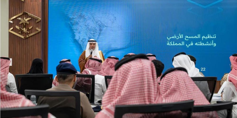
|
Riyadh, July 23, 2026, SPA -- The General Authority for Survey and Geospatial Information (GEOSA) has launched the first in a series of workshops on regulating land surveying activities. The initiative aims to strengthen the Kingdom's regulatory framework, enhance professional standards, improve the reliability of surveying and geospatial work, and support the objectives of Saudi Vision 2030. The launch was attended by GEOSA President Dr. Eng. Mohammed bin Yahya Al Sayel, representatives from more than 60 government, private-sector, and academic entities, and international experts. GEOSA outlined the proposed regulatory framework, including the regulation of land surveying activities, the development of professional standards for practitioners, and the adoption of technical and regulatory standards aligned with international best practices. In his opening remarks, Al Sayel described land surveying as the foundation of development projects, including infrastructure, urban planning, transportation networks, and investment initiatives. He said the quality of surveying work has a direct impact on project quality, execution efficiency, decision-making, and the efficient use of resources.
|

 RSS Feed